Userfriendly GIS
D-Map is a Geographical Information System ( GIS ) built to get the job done faster, easier and cheaper.
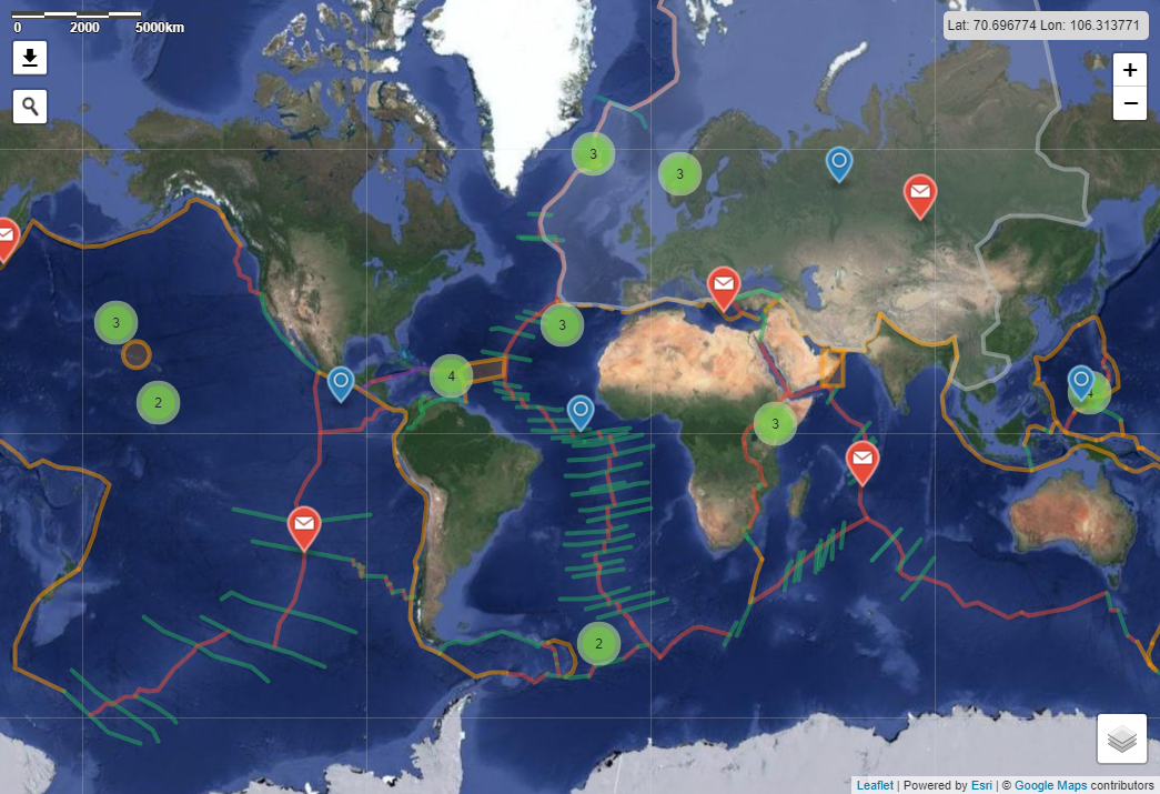
Read details below to learn more about D-Map.
Fully compatible with existing GIS software, Web-based solutions making the tools ever more accessible.
About D-Map
Web-based
Available anywhere, anytime
Low user-threshold
Up and running in less than 5 minutes
Made for use in education
The perfect feature set, made for students
Watch this TED Talk explaining GIS
All the features you need
Cross-platform
Windows, Mac, Linux, Mobile - D-Map is available on all platforms.
Frequent updates
D-Map becomes better every month. We enhance the uses experience as much as possible.
Feedback
We appreciate all feedback, good or bad, to help us improve D-Map as much as we can.
OSS software
D-Map is built exclusively with OSS software, making it a product of the best solutions the community has to offer.
Compatibility
D-Map is compatible with all existing GIS software, right out of the box. No need for tedious migration processes.
Technical support
We care about reliability. If you have any questions - do not hesitate to contact us.
Modularity
Built with modularity in mind, making D-Map ever more compatible.
Open standards
GeoJSON, Web Map Services, Web Feature Services. These are just some of the open standards that D-Map proudly supports.
DISCLAIMER
Under no circumstances shall MapCo AS or the D-Map project members be liable in any form or manner for the actual use of this page, software or data made available in this page.
THIS WEB PAGE USES COOKIES
This web page uses cookies for collecting usage information and for analysis of performance. Some of the cookies are from third party. By continuing to browse the site, you are agreeing to our use of cookies.